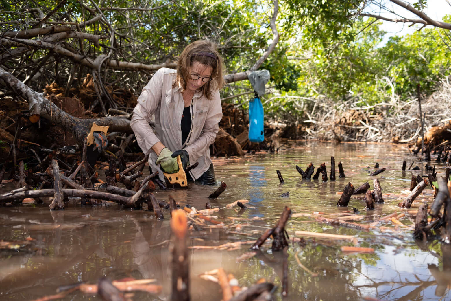
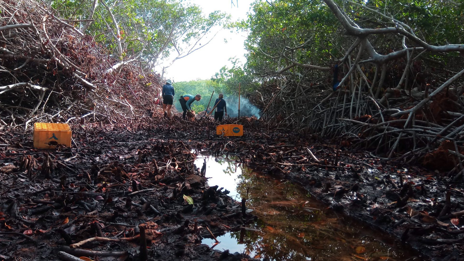
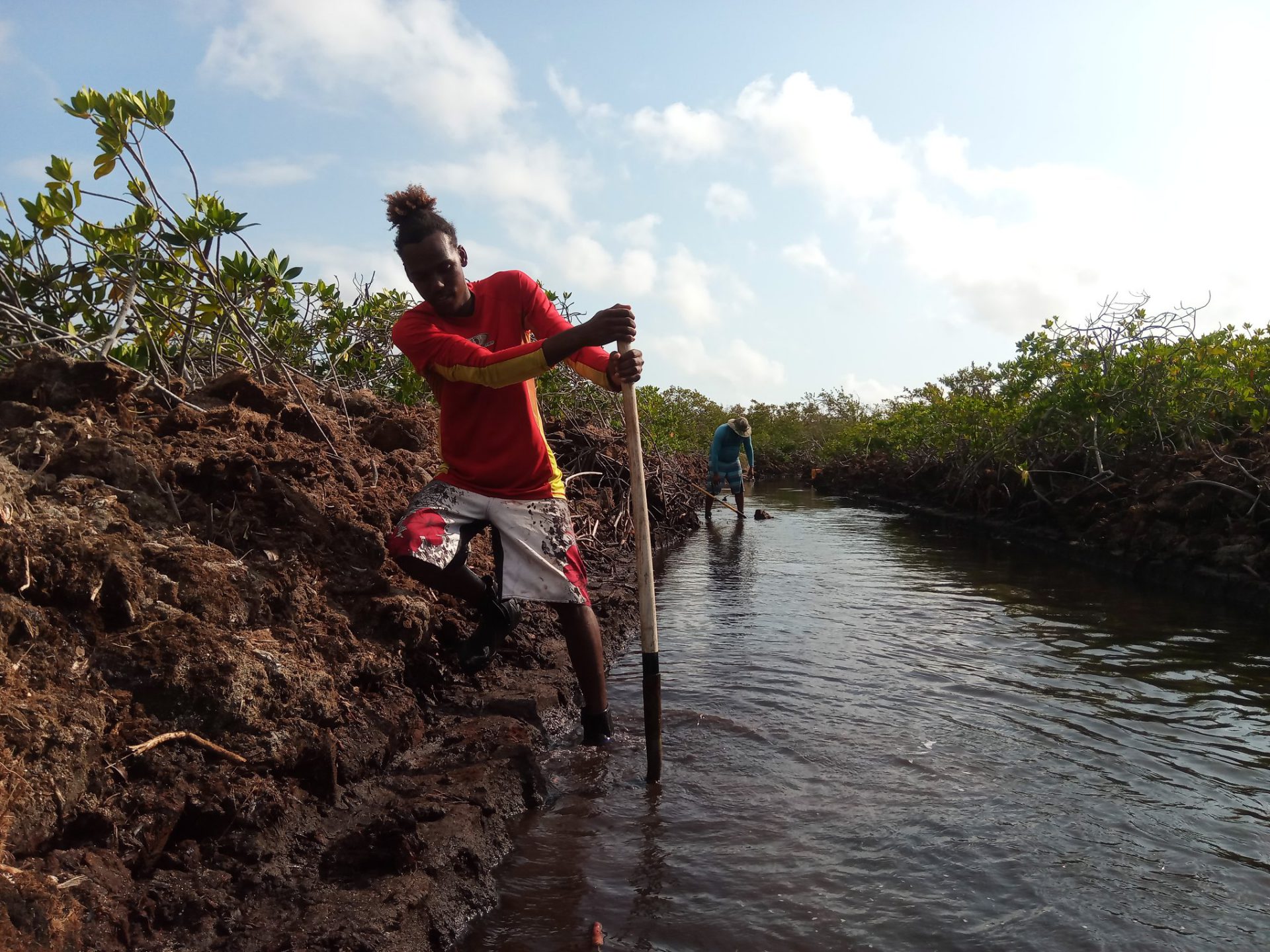
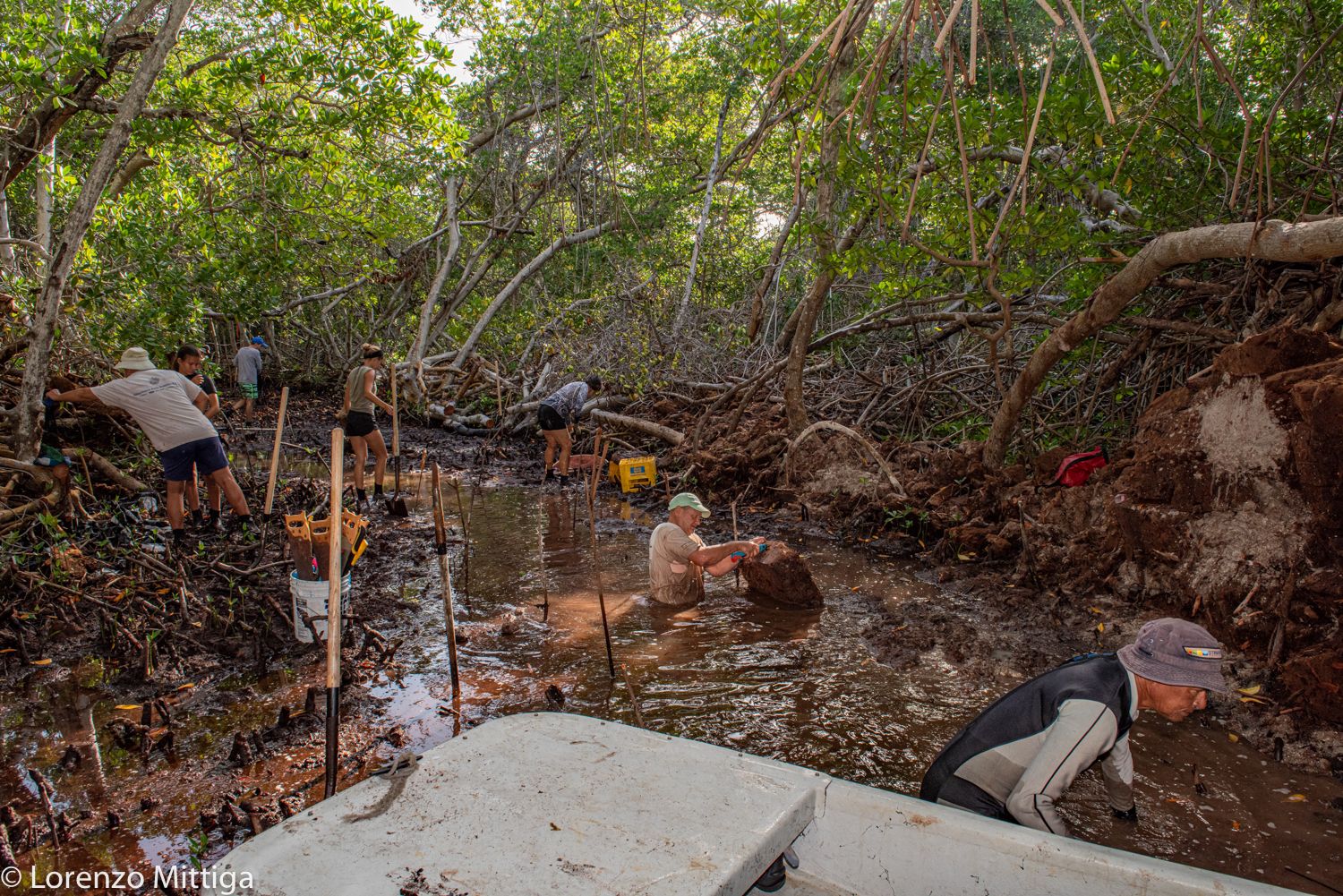
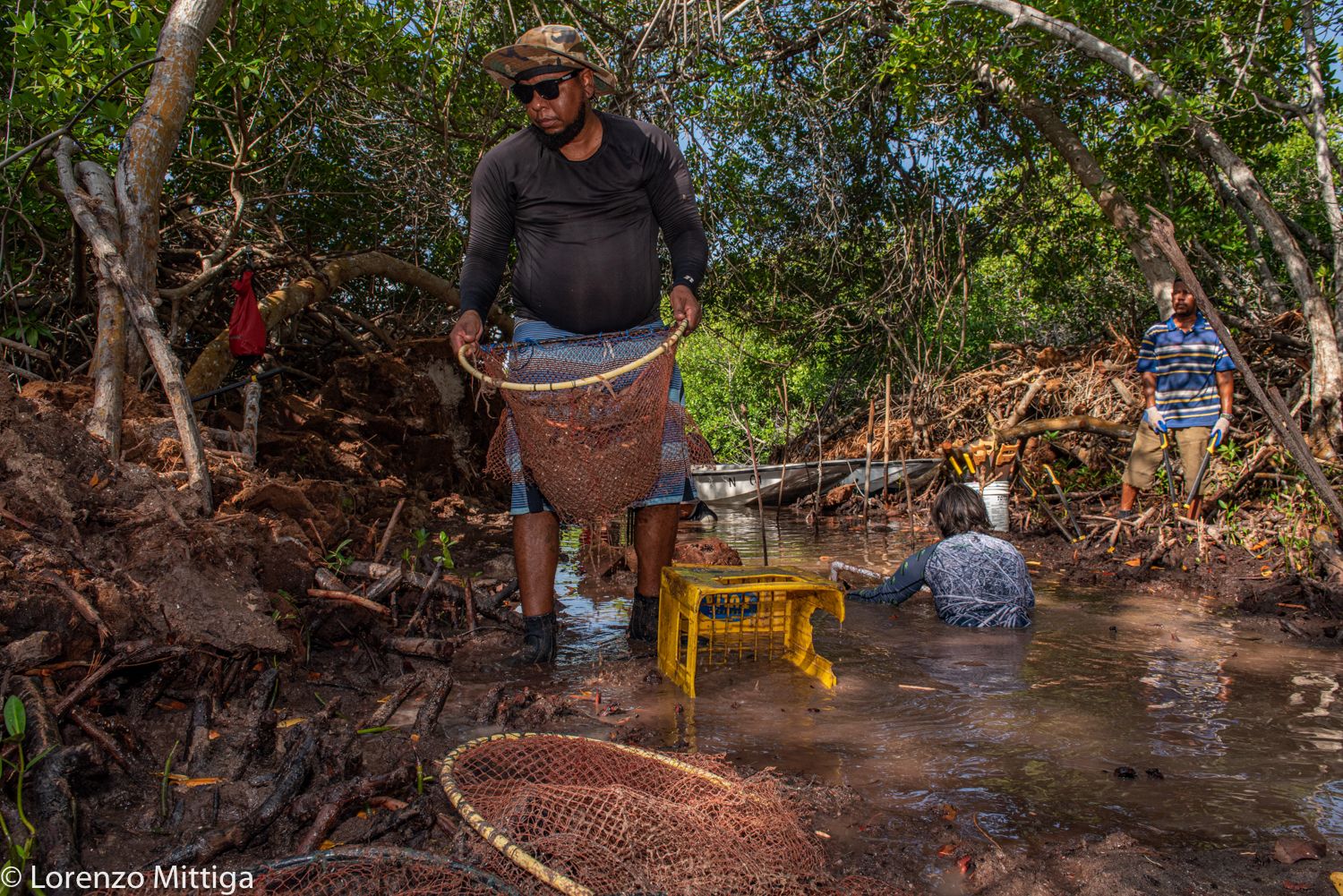
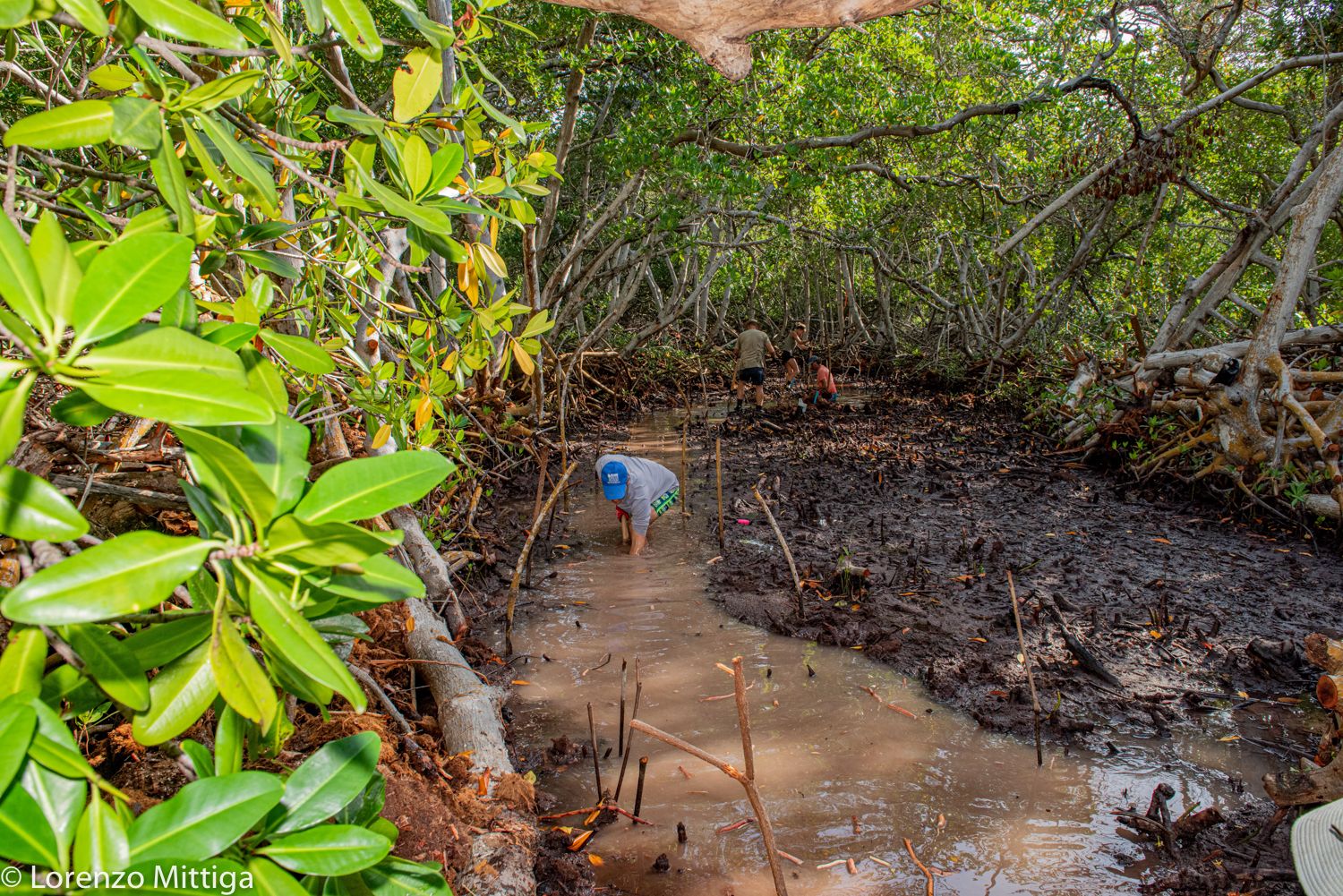
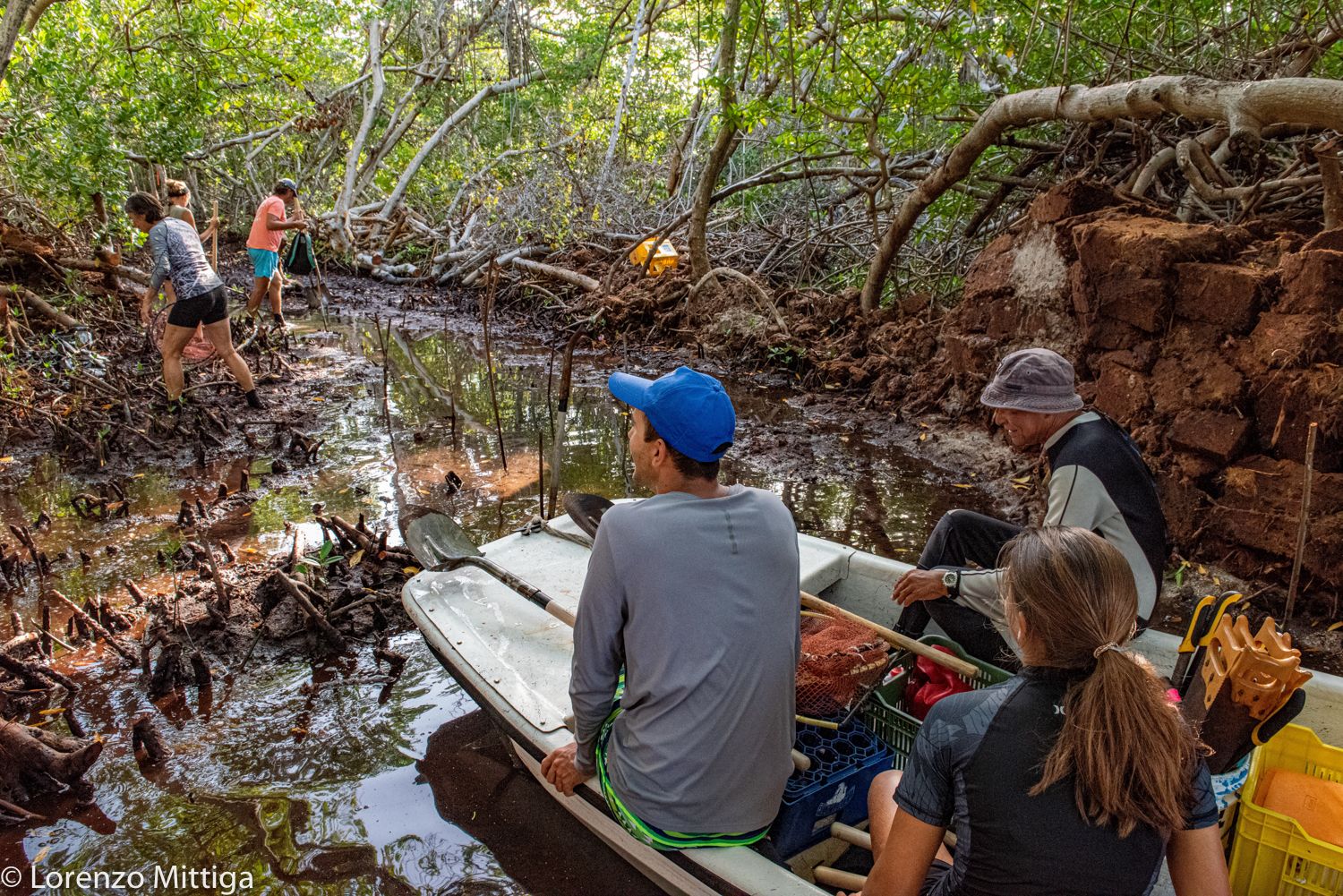
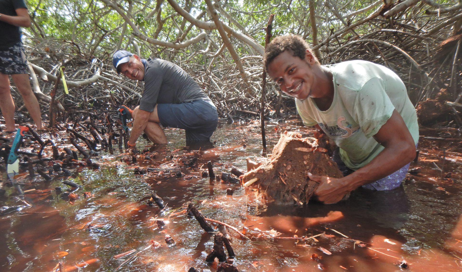
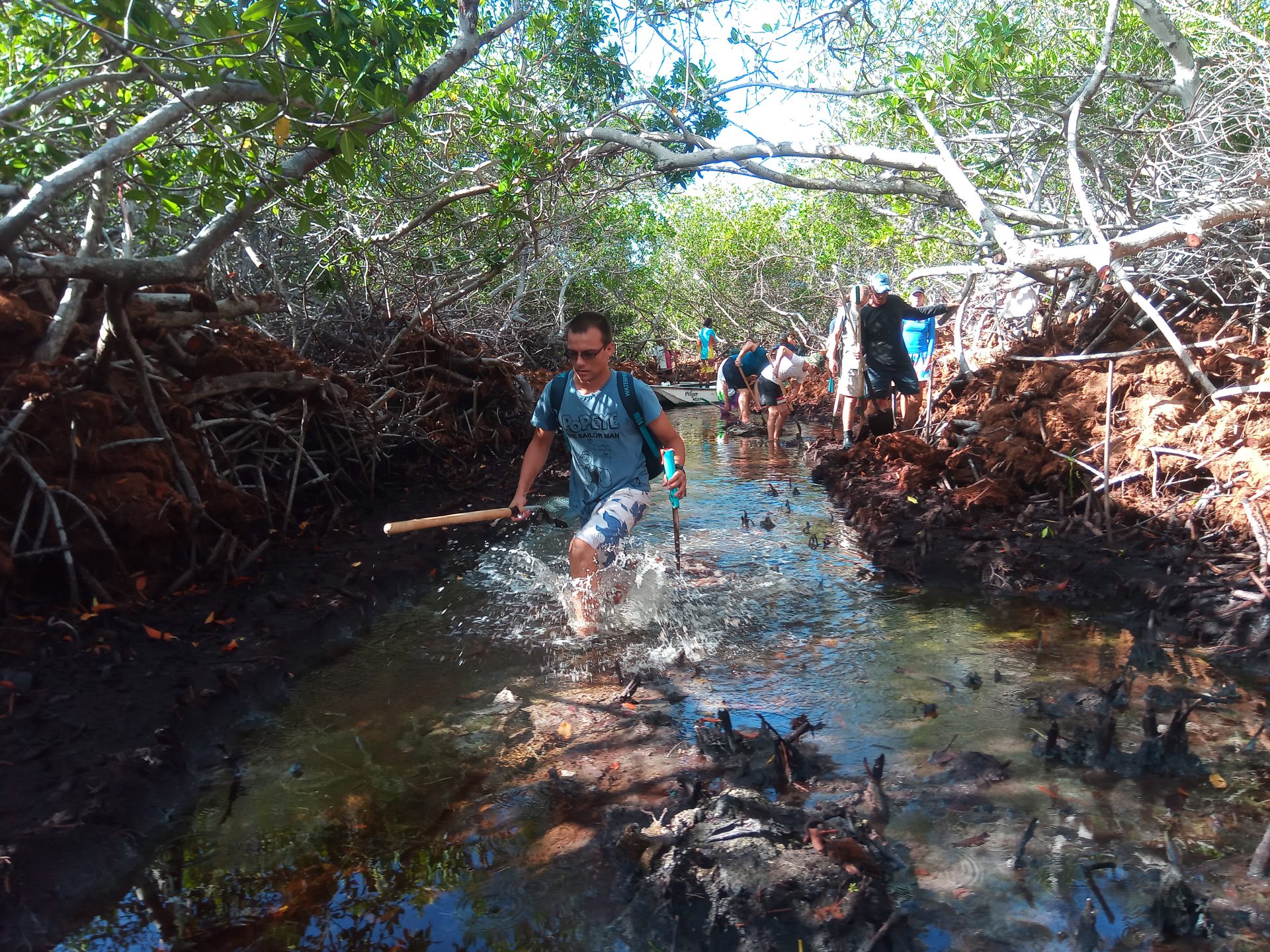
Channel Restoration

Over development and over grazing of the land has left the areas around the mangroves clear of natural vegetation. These plants with their extensive root systems are instrumental in anchoring sediment, minimizing erosion. Their removal means that heavy rains and winds can easily push land sediment into the mangroves, filling in the channels and choking out the back forest. Working with satellite imagery, expert advice and fishermen’s historic knowledge we are working to reopen this old channels, restoring waterflow throughout the mangroves. These channels have been indicated in purple on the map.
This work is carefully monitored to ensure there are no unintended consequences to this work. Already, we’ve seen dramatic improvements including improved water quality within the back mangroves and an increase in the presence of fish, crustaceans and birds.
Remote Sensing
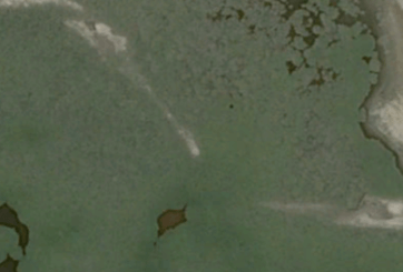
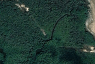
Satellite imagery has allowed us to track the progress of our work. A great example can be seen in the Taco Channel. Here, we can see our hard work show up in the aerial imagery! When work began in this channel in 2018, the water here was stagnant. Aside from mosquitos, little else could be found in this area. This particular area is interesting as it connects the black and red mangrove areas together. After this channel was reestablished, we saw a dramatic change in wildlife here. Soon fish and birds returned, and the free flow of water meant life could come and go. Below you can see the Google Earth imagery from July 2016 (left) and December 2018 (right). Notice the distinct channel running through the middle.